Geography
The primary geography national curriculum in the UK mirrors the goals of its history counterpart, focusing on deepening students' understanding of the world and their place within it.
Our geography curriculum is guided by the Grammarsaurus scheme of work which teachers edit and adapt to suit the needs of the pupils in our school. Through engaging topics taught throughout the year, children explore diverse places and environments, with teachers carefully planning each topic to ensure progressive learning.
Fieldwork skills are emphasised, providing students with opportunities to investigate their local area and compare geographical features and processes. Vocabulary acquisition is prioritised, with key terms introduced at the outset of each topic to facilitate comprehension. Key vocabulary is revisited regularly throughout each topic to ensure these are committed to our long-term memory.
Utilising the local area as a learning resource enhances student engagement, with outdoor experiences providing real-world contexts for geographical concepts. We ensure that we provide opportunities for children to compare their local area with a contrasting one. This enables our children to find out about places in the world which they may not know about or would have the opportunity to visit.
Overall, the curriculum aims to inspire curiosity about the world while equipping students with the skills and knowledge to understand diverse geographical landscapes and become engaged global citizens.
Our Autumn Learning
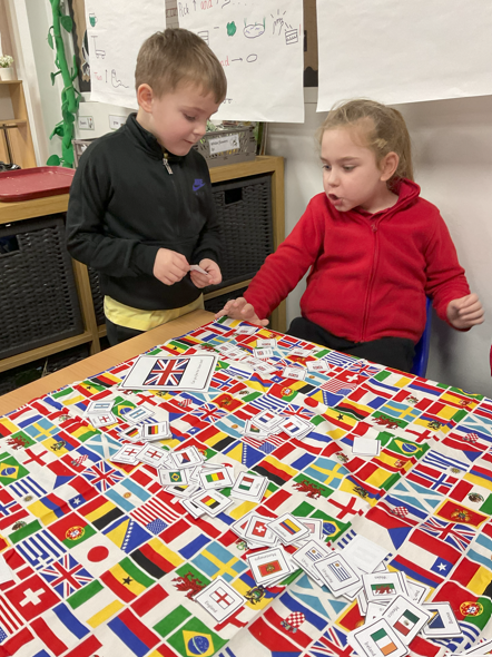
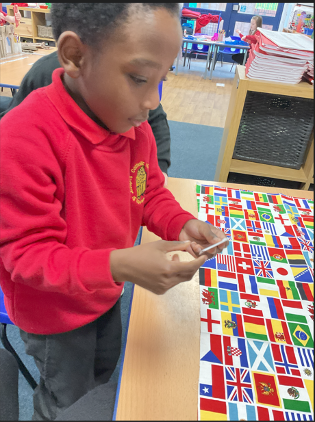
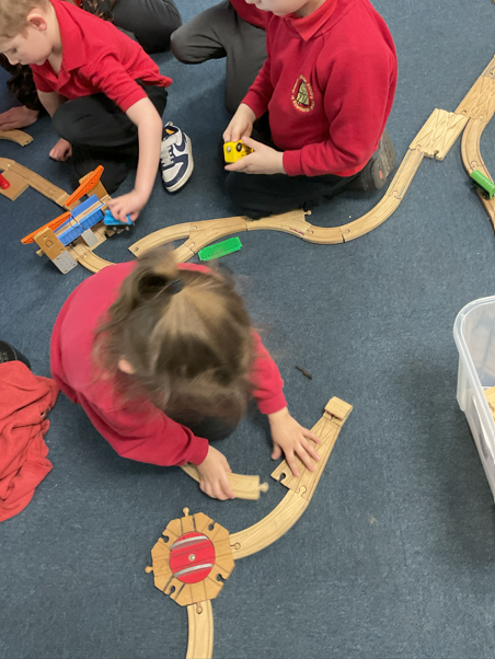
In Geography, Year 1 pupils have developed their understanding of their immediate environment and the wider world through fieldwork and map skills. They learnt what a geographer does and explored their school grounds, identifying human and physical features and creating simple sketch maps. Children used aerial photographs to recognise landmarks and understand how places look from above, while developing observational skills through simple investigations such as tally charts and people counts. We named and locate the four countries and capital cities of the United Kingdom, as well as the seven continents and five oceans of the world, using globes and maps to describe locations.
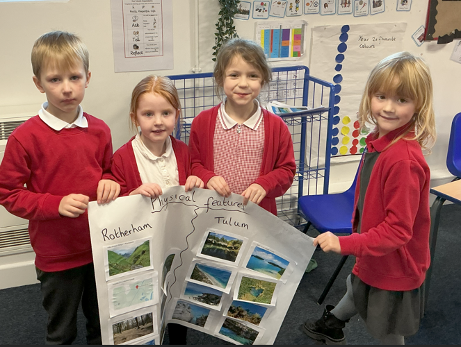
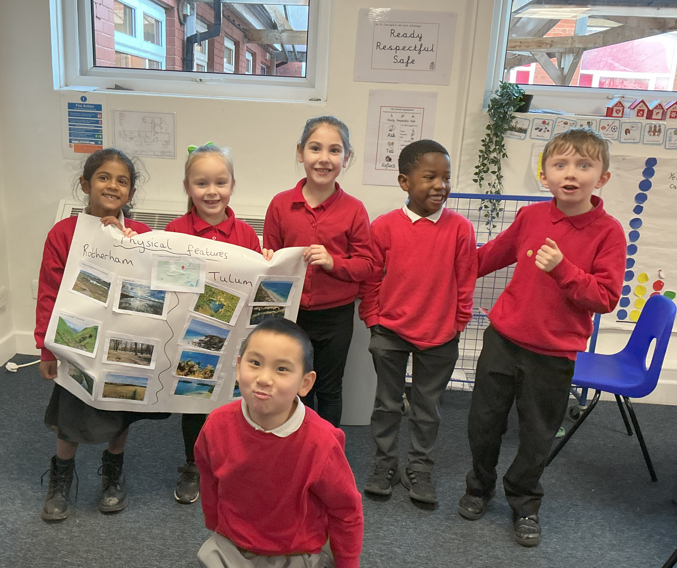
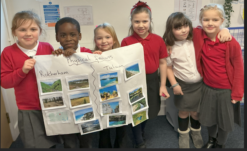
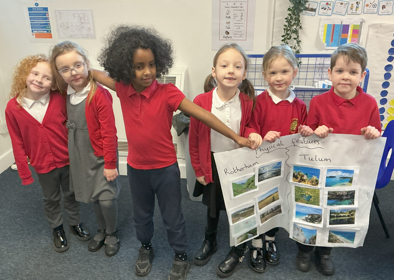
In Year 2 pupils compared the physical features of Rotherham and Tulum in Mexico. They learnt to identify and describe physical features such as rivers, hills, forests, beaches, cliffs and coastlines. Pupils understand that Rotherham is an inland town with features including the River Don, rolling hills and woodland, while Tulum is a coastal town with sandy beaches, tropical jungle and a warm climate. They have compared similarities and differences between the two locations, recognising that both places have natural land and water features, but that climate affects the vegetation and landscape. Children have also developed their map skills by locating the United Kingdom and Mexico on a world map and using simple geographical vocabulary such as coast, river, forest, hot and cold to explain their understanding.
Year 3 pupils developed their locational knowledge of the United Kingdom, building on prior learning to name and locate counties, major cities and regions across the UK. They identified key topographical features such as hills, mountains, rivers and coasts, and understood how some of these physical features have changed over time. Using atlases, digital maps and Ordnance Survey maps, pupils strengthened their map-reading skills, including using four-figure grid references, compass directions and route planning. Through their study of land use, they explored different types of settlements and economic activity, identifying how land in the UK is used for farming, housing, business, transport and recreation.
In Year 4, pupils developed their understanding of physical processes, climate, and regional comparison. Through studying coastal localities, they learnt how erosion shapes cliffs, bays, headlands and beaches, and examined the impact of waves and weathering on coastlines, including case study examples such as the Holderness Coast. Pupils explored how human activity, including tourism and sea defences, affects coastal environments and considered ways coasts can be protected.
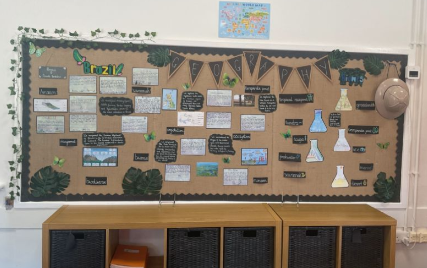
Year 5 pupils have developed their understanding of regions, rivers, and ecosystems through detailed comparisons between their local area and northern Brazil. They learnt to locate countries such as Brazil and their own region on maps and globes and to describe the human and physical features of both areas, including rivers, mountains, rainforests, cities, land use, transport, and cultural lifestyles. Pupils compared rural and urban areas, and investigated the impact of human activity on woodlands and the Amazon rainforest.
Year 6 pupils have explored sustainability and the impact of human activity on the environment. They learnt what sustainability means and the difference between renewable and non-renewable resources. Pupils have investigated global issues such as food miles, plastic pollution, deforestation, and climate change, and considered how human actions affect the planet. They have studied sustainable energy, transport, and cities through case studies such as Curitiba and Copenhagen. Pupils have applied their learning locally by conducting a school waste audit, surveying sustainable practices in the area, and designing plans to make their school and community greener. Through this topic, they have developed skills in data collection, thematic mapping, action planning, and critical thinking about the interaction between human and physical geography, gaining a deeper understanding of how to live and manage resources more sustainably.